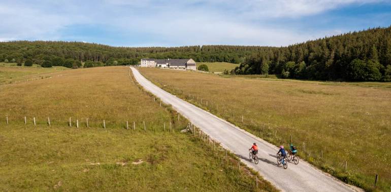
Domaine du Sauvage / Baraque des Bouviers Grande Traversée du Massif Central Gravel
11,89 km cycling route from Domaine du Sauvage to Baraque des Bouviers
Consider a detour to Sainte-Eulalie, with its Bison Reserve, by following the GTMC VTT mountain-biking course towards St-Chély-d'Apcher.
Elevation of the stage
The GTMC en Gravel stage is identical to the GTMC VTT (mountain-biking) stage in this case. You can follow the signposting for the VTT route without any worries!
Links on the stage (purple line on the map)
Link n°1 Langeac / Domaine du Sauvage
Departing from Langeac, you first ride along the Allier-side quays, then you’re guided onto a mix of wide paths and small sections on road, passing through farmland, going to Chanteuges and on to Bourleyre.
At the level of Bourleyre, you avoid a majorly difficult stretch of the GTMC VTT mountain-biking route by taking a minor little road leading you as far as a spot called Legal, after which you cycle along a forest track to rejoin the GTMC VTT route on the Margeride Plateau, a bit before Charraix.
The rest of the stage is made up of a mix of shaded paths through pine forest and of broad tracks, sometimes tarmacked, through pasturelands. You rejoin the main GTMC route close to the Domaine du Sauvage.
Link n°2 Saint-Chély-d'Apcher / Baraque des Bouviers
Heading off from Saint Chély d’Apcher, this link on the GTMC Gravel cycle route differs greatly from the link on the GTMC VTT mountain-biking route, which counts many technically demanding stretches. The Gravel link mainly guides you via minor roads up to the Col de la Baraque des Bouviers, a pass where you do rejoin the main GTMC route, at an altitude of almost 1,400m!
Note that there are trains to St-Chély d’Apcher and that it’s just a short distance from that town’s station to the starting point of this GTMC link. In addition, beside the station, there’s an inn, with pub, well used to receiving cyclists. Plus, close to the exit off the A75 motorway, coming from the north, there’s a campsite with static bungalows, as well as a hotel.
First, ride eastwards to cross the A75 motorway and climb to the hamlet of Les Lauzes, set on the heights above St-Chély-d'Apcher. Next, you’ll leave behind the GTMC VTT mountain-biking route at the level of the spot named Sarrouillet, riding along a road beside the Limagnole River to reach St Alban sur Limagnole.
Continue along the route départementale, a trunk road, to reach the Col de la Baraque des Bouviers via St Denis en Margeride. This link ends at the pass, at an altitude of almost 1,400m, and you can rejoin the main GTMC cycle route.

Travellers’ reviews