Blandas / La Couvertoirade Grande Traversée du Massif Central Gravel
40,85 km cycling route from Blandas to La Couvertoirade
Elevation of the stage
From Blandas, forest tracks and minor roads through the Vis Gorges lead to the village of Vissec.
Past Vissec, the GTMC Gravel separates from the GTMC VTT mountain-biking route to take you to the village of Alzon via a stretch of road, as the mountain-biking paths here are much too stony for a gravel bike. You continue all the way along the Vis Gorges. From Alzon, forests predominate. You ride through them via a mix of broad tracks and stretches on road, up to the Col de la Barrière pass.
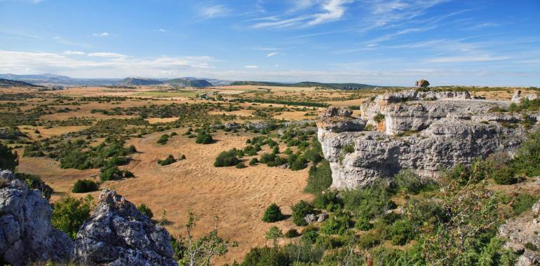
It’s at this point that you leave the département, or county, of Gard for the Aveyron. Entering this county, the cycling is easy at first. From the village of Sauclières, follow a former railway track, with more of a slope than might at first appear, to reach Le Larzac, a rocky plateau. There’s just one short, steep portion that may test you. Once on the Larzac Plateau, the broad paths and singletracks are a joy to ride across on your gravel bike.
Do take care, though, crossing the cattle grids and some ‘natural’ steps that require good control of your bike. Before arriving at La Couvertoirade, you do bypass a difficult stretch by taking a less challenging detour for gravel users.
Link n°1 Millau / La Couvertoirade (purple line on the map - see GPX below)
For a good warm-up, leave Millau for Creissels, cycling along beside the Tarn River. Then it’s time to take on a challenging climb, first on tarmacked road, then on a broad track, leading up to the Larzac Plateau, and the hamlet of Bouissan, where you rejoin the main GTMC route.
Do take care on the 3.5km stretch before arriving at La Cavalerie, which is tricky for inexperienced gravel users; if you feel unsure on the difficult terrain, then opt to remain on the départementale D809 road. Once on the Larzac Plateau, enjoy the wide tracks across it as you cross the villages of La Cavalerie and L’Hospitalet-du-Larzac to reach a portion of converted railway line. Then you ride along paths well suited to gravel bikes to reach the village of La Couvertoirade.

Travellers’ reviews